
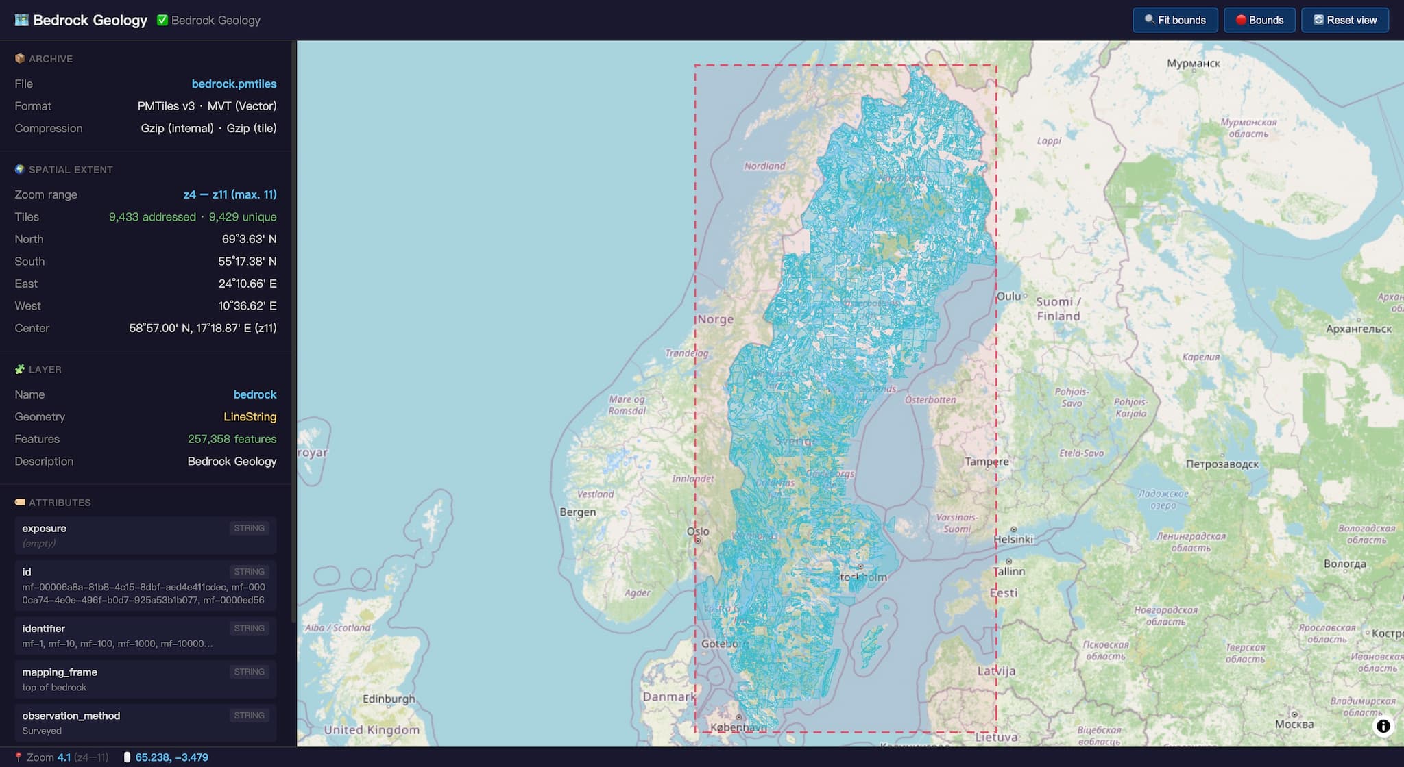
What we learned when a user tried to load a 1 GB GML file in a browser
Learn why traditional GIS formats break at scale, how vector tiles solve the memory and rendering bottleneck, and what the shift from flat files to tiled architectures means for web-based geospatial data.
Summary not yet generated for this article.
Comments (1 of ) ⌛