
Show HN: Mapping the most convenient ways to meet someone with public transit
See how far public transportation takes you
Summary not yet generated for this article.
Original Text
Hello!
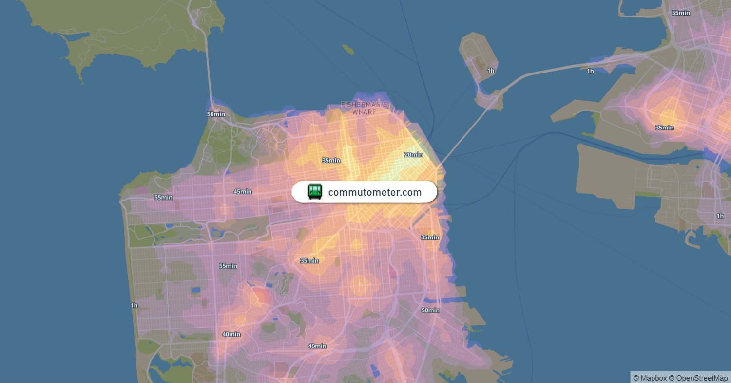
I built a map that generates a heatmap of the most convenient meeting spots between several people, based on public transit travel times.
Move the markers anywhere in the map; all cities with sufficient transit data are supported!
Comments (2 of ) ⌛